


 Latest News
| LF Data Products | |
| Model | [Author/Investigator/Producer/Responsible Party], [Year of Release], [Title of Dataset/Data Product/Map/Table/Etc.], [Edition or Version], [Publisher]. Accessed [Access Date] at [URL]. |
| Example | LANDFIRE, 2016, Existing Vegetation Type Layer, LANDFIRE 2.0.0, U.S. Department of the Interior, Geological Survey, and U.S. Department of Agriculture. Accessed 28 October 2021 at http://www.landfire/viewer. |
| LF Web Pages, Graphics and Reports | |
| Model | [Author/Producer], [Title of Web Page/Graphic/Reports], [Publisher]. Accessed [Access Date] at [URL]. |
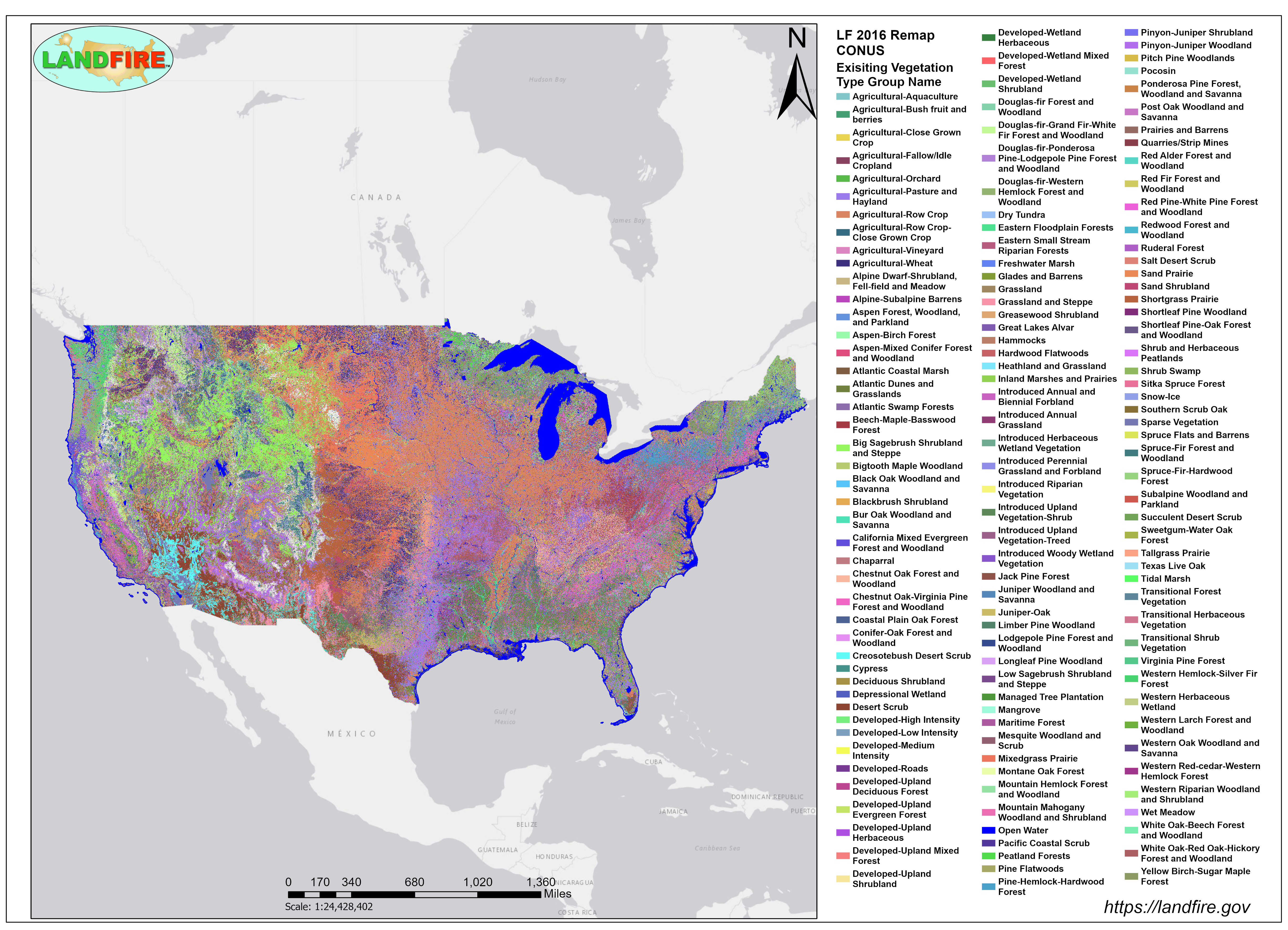
| Example | LANDFIRE, LANDFIRE: Existing Vegetation Type, U.S. Department of Agriculture and U.S. Department of the Interior. Accessed 13 January 2022 at https://landfire.gov/geoareasmaps/LF2016/CONUS/LF2016Remap_CONUSEVT_graphic.png. |
*Refer to the Data Products Version Table for LF product version number and name.


