


About
Discover the LF mission, who we are, what we do and how LF is important to you. Also learn about the LF History and how it all began...
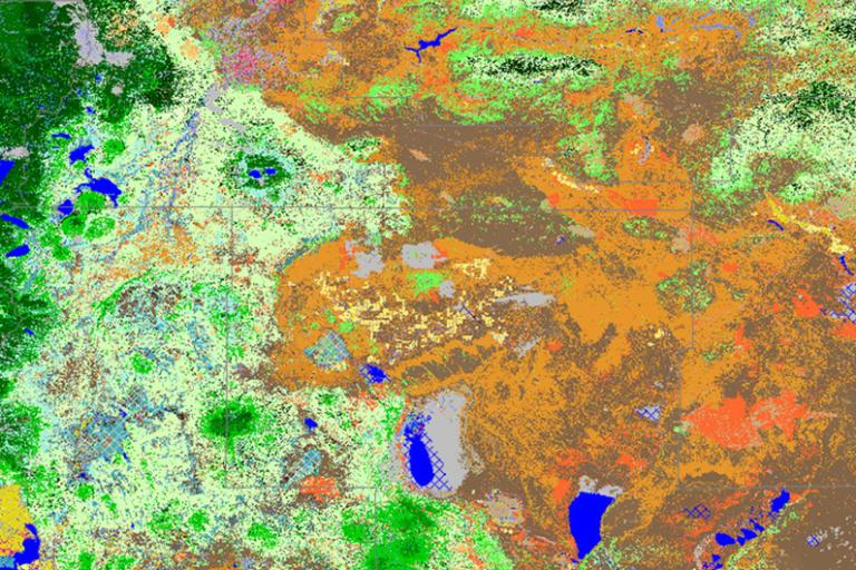
Data
Explore our data approach, applications, methods, uncover detailed product information, and download the data in various formats ...

Resources
Navigate through our support materials, including our technical documentation, dictionary, definitions and standards, and LF publications ...
Data Alerts
Data Release: 2026-04-30
Data Release: 2026-04-15