

Contact our Help Desk
Submit a question to our Help Desk, and our experts will assist you
Contact Us
Frequently Asked Questions
Visit our FAQ page to see if your question is already answered
View FAQs
Helpful LANDFIRE Documents
Visit our Resources page to find publications, applications, and helpful materials
View Documents
LF Alerts and Release Milestones
Visit our Alerts page to find out about latest releases and alerts
View Alerts & Milestones
LF 101 Learning Website
Your companion guide to understanding and using LF products.
View Learning Website
LF products are available by the following groupings:
- Reference - contribute data or access databases containing contributed disturbance events
- Disturbance - a suite of products that categorizes annual and historical disturbance events
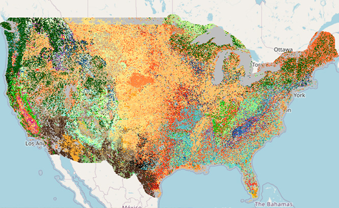
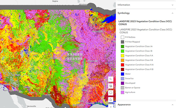
- Vegetation - products that demonstrate vegetation change across the landscape and models of potential pre-European settlement vegetation systems
- Fuel - products that demonstrate the composition and characteristics of surface and canopy fuels along with fuel vegetation
- Historic Fire Regime - products that represent pre-European settlement fire frequency and severity
- Topographic - products that provide geospatial information describing the landscape
LANDFIRE Product Delivery Schedule
LANDFIRE Data Naming Conventions
LF products are available by the following groupings:
- Reference - contribute data or access databases containing contributed disturbance events
- Disturbance - a suite of products that categorizes annual and historical disturbance events
- Vegetation - products that demonstrate vegetation change across the landscape and models of potential pre-European settlement vegetation systems
- Fuel - products that demonstrate the composition and characteristics of surface and canopy fuels along with fuel vegetation
- Historic Fire Regime - products that represent pre-European settlement fire frequency and severity
- Topographic - products that provide geospatial information describing the landscape
LANDFIRE Product Delivery Schedule
LANDFIRE Data Naming Conventions
Zipped Data Downloads
Here, you can download the full extent of a desired product.
View Data Downloads
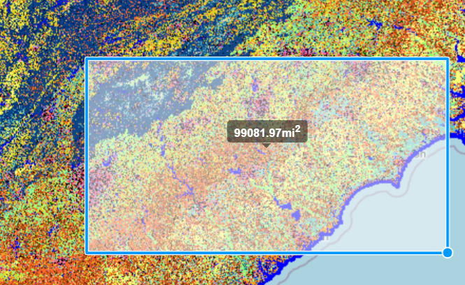
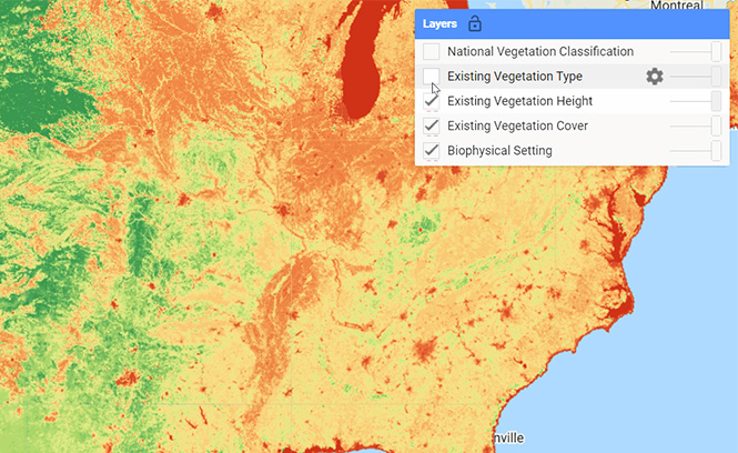
Map Viewer
Use the Map Viewer to download data for a specific Area of Interest (AoI).
Go to Viewer
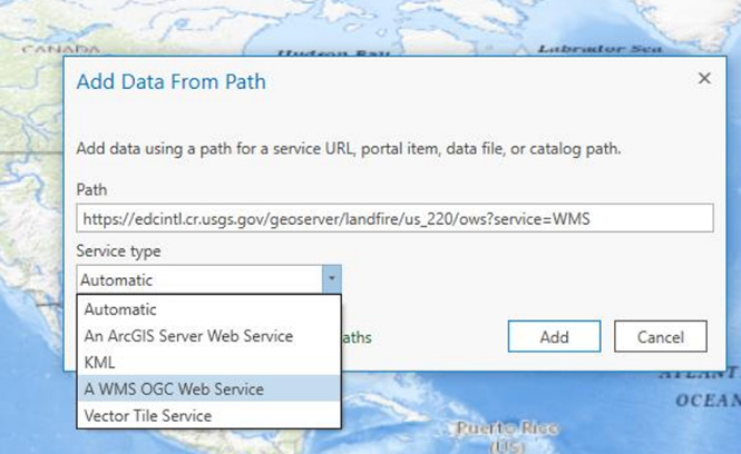
Streaming Services
Use the Web Coverage Service (WCS) and OpenGIS® Web Map Service Interface Standard (WMS) to use an HTTP interface for requesting and serving geospatial map images over the internet.
View Streaming Services
Arc GIS Online (AGOL)
Here, you can download the full extent of a desired product using AGOL.
View ArcGIS Online
Awesome GEE Community
Here, you can download the full extent of a desired product using Google Earth Engine.
Visit the GEE Community
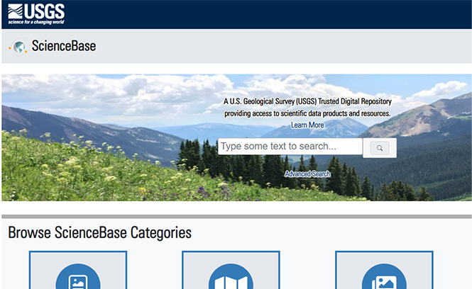
ScienceBase
Here, you can download the full extent of a desired product using ScienceBase.
Go to ScienceBase
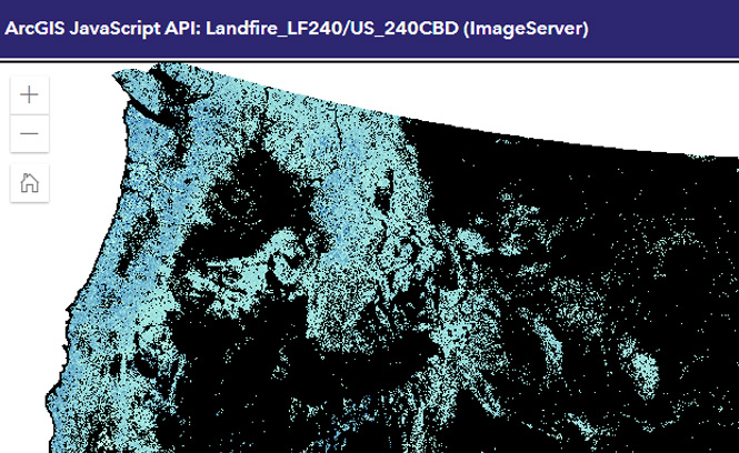
Esri Image Service
Use Esri Image Service to request LANDFIRE map images over the internet.
View Esri Image Service
Zipped Data Downloads
Here, you can download the full extent of a desired product.
View Data Downloads
Map Viewer
Use the Map Viewer to download data for a specific Area of Interest (AoI).
Go to Viewer
Streaming Services
Use the Web Coverage Service (WCS) and OpenGIS® Web Map Service Interface Standard (WMS) to use an HTTP interface for requesting and serving geospatial map images over the internet.
View Streaming Services
Arc GIS Online (AGOL)
Here, you can download the full extent of a desired product using AGOL.
View ArcGIS Online
Awesome GEE Community
Here, you can download the full extent of a desired product using Google Earth Engine.
Visit the GEE Community
ScienceBase
Here, you can download the full extent of a desired product using ScienceBase.
Go to ScienceBase
Esri Image Service
Use Esri Image Service to request LANDFIRE map images over the internet.
View Esri Image Service
LANDFIRE Product Service (LFPS) User's Guide
LANDFIRE Viewer User Instructions
Instructions on how to use Image Service URLs in ArcPro
Instructions on how to use Image Service URLs in ArcGIS Online
Instructions on how to use WCS or WMS Calls
Instructions on how to use WCS or WMS Calls in ArcGis Pro
Instructions on how to use ArcGIS Online
Modifying LF Geospatial Data for Local Applications guide
- LANDFIRE Product Service (LFPS) Tutorial
- LANDFIRE Explains: How to use LANDFIRE's Map Viewer (Part 1)
- LANDFIRE Explains: How to use LANDFIRE's Map Viewer (Part 2)
- LANDFIRE Explains: How to use LANDFIRE's Streaming Service
- How to Change Symbology When Working in ArcPro or ArcMap
- Other LF YouTube Tutorials