

LF 2001 data was archived and can be accessed on USGS ScienceBase or requested through the Help Desk.
 LF 2001 enhanced the layers of the LF National data set to provide a foundation upon which to build an updated geospatial data set. The enhancements were developed to facilitate comparative analyses, evaluate trends, and potentially monitor changes over time. In particular, LF 2001 enhancements addressed:
- incomplete data coverage along international borders
- extent of riparian and wetlands features
- agricultural and urban vegetation types as burnable
- extent of barren and water classes
- Biophysical Settings (BPS) in western rangelands using Soil Survey Geographic Database (SSURGO)
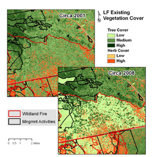
Existing vegetation cover and height (EVC & EVH) were remapped in forested areas and all products were updated to reflect refined existing vegetation. Updates included changes caused by 1999 - 2001 fires. LF 2001 was used as an input to strategic wildland fire management decision support systems.
LF 2001 products:
- Vegetation
- Fuel
- Fire Regimes
- Disturbance
- Topography