

Keeping Up with LANDFIRE

Registration link for all 2026 Office Hours: https://tnc.zoom.us/meeting/register/8g82Cz9jTb6H-oRjgL6F9A
January 28 – Coordinating Smoke Management: Insights from Albany, Georgia’s Pilot Project
Speaker: Holly Nowell, PhD, Smoke Science Program Director, Tall Timbers
Partner Organization: Tall Timbers
Recording Link: https://youtu.be/2aA8TXirlpk
February 25 - Contrasting LANDFIRE with Fractional Vegetation Cover Data (RCMAP and RAP)
Speaker: Matt Rigge, Ecologist, USGS EROS & Sara McCord, RAP Lead, Research Ecologist, ARS
Partner Organization: EROS
Recording Link: https://youtu.be/1pnzh_cfw_8
March 25 – Fire Needs Assessment 101: Connect Historical Ecosystems, Vegetation, and Fire Regimes
Speaker: Sarah Hagen, Senior Spatial Ecologist, TNC, LANDFIRE
Partner Organization: The Nature Conservancy
Recording Link: https://youtu.be/iq9Eau3gHiU
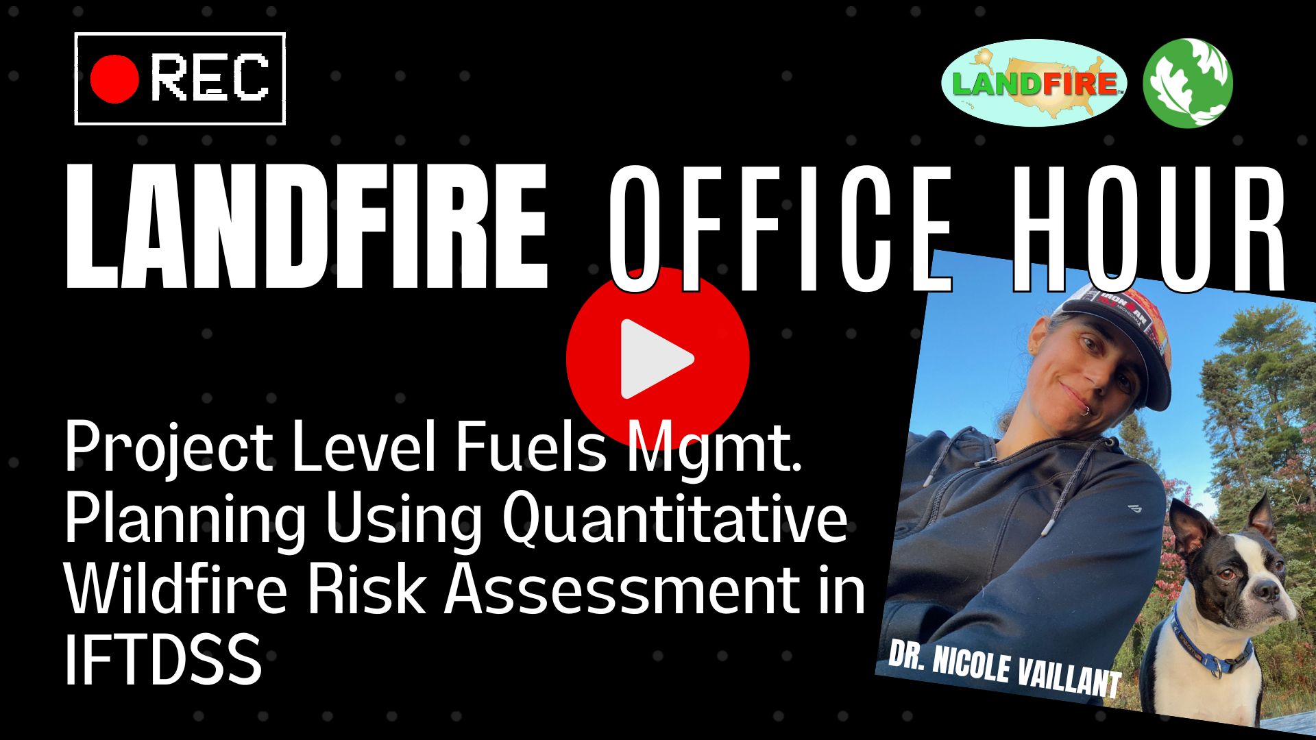
April 29 - From Data to Decisions: What's New with Wildfire Risk to Communities
Speakers: Kelly Pohl, Associate Director, Headwaters Economics
Greg Dillon, Director of the Fire Modeling Institute, USDA Forest Service
Partner Organization: Headwaters Economics
Recording Link: https://youtu.be/nQRdrcYgCSI
May 27 - EcoMap 2025 - An update to the Forest Service's National Hierarchy of Ecological Units
Speakers: Sarah Anderson, Ecologist, USDA Service; Joanne Baggs, Landscape Ecologist, USDA Forest Service; Estella Smith, Geospatial Ecosystem Specialist, USDA Forest Service
Partner Organization: USDA Forest Service
Recording Link: https://youtu.be/ISAkNsCVeOE
June 24 - Fire Regimes, BpS, and Decision Support with LANDFIRE
Speakers: Rua Mordecai, Coordinator, Southeast Conservation Blueprint, U.S. Fish and Wildlife Service; & Cara Joos, Natural Resources GIS Programmer/Analyst, U.S. Forest Service Contractor, Pacific Planning Services Group
Partner Organization: USDA Forest Service
Recording Link: https://youtu.be/01hLxQU8mNg
July 29 - Overview of the LANDFIRE Fuel Characteristics Classification System
Speaker: Susan Prichard, PhD, Principal Research Scientist, FLAME Lab
Partner Organization: School of Environmental and Forest Sciences, University of Washington
Recording Link:
August 26 - TBD
Speakers: Russell Parsons, Ph.D., Research Ecologist, U.S. Forest Service, Rocky Mountain Research Station, Fire Sciences Laboratory; Sam Hillman, Senior Applied Fire Scientist – Fuel Assessment, Policy and Planning, Forest, Fire and Regions, Department of Energy, Environment and Climate Action, Victoria State Government, Australia; Mark A. Finney, Ph.D., Research Forester, U.S. Forest Service, Rocky Mountain Research Station, Fire, Fuel, and Smoke Science Program
Partner Organization: USDA Forest Service
Recording Link:
September 30 - LANDFIRE Compared: Synergies with various Ecosystem Classification Systems
Speaker: Ayn Hunt, PhD, Oregon State University
Partner Organization: Forest Landscapes Program - Institute for Natural Resources
October 28 - TBD
Speaker: Greg Dillon, Director, Fire Modeling Institute, Forest Service, Rocky Mountain Research Station, Fire, Fuel, and Smoke Science Program
Partner Organization: USDA Forest Service
Recording Link:
December 2 - LANDFIRE Fuels Process
Speaker: Ryan McCliment, LANDFIRE Fire Behavior Specialist, TSSC
Registration link for all 2026 Office Hours: https://tnc.zoom.us/meeting/register/8g82Cz9jTb6H-oRjgL6F9A
January 28 – Coordinating Smoke Management: Insights from Albany, Georgia’s Pilot Project
Speaker: Holly Nowell, PhD, Smoke Science Program Director, Tall Timbers
Partner Organization: Tall Timbers
Recording Link: https://youtu.be/2aA8TXirlpk
February 25 - Contrasting LANDFIRE with Fractional Vegetation Cover Data (RCMAP and RAP)
Speaker: Matt Rigge, Ecologist, USGS EROS & Sara McCord, RAP Lead, Research Ecologist, ARS
Partner Organization: EROS
Recording Link: https://youtu.be/1pnzh_cfw_8
March 25 – Fire Needs Assessment 101: Connect Historical Ecosystems, Vegetation, and Fire Regimes
Speaker: Sarah Hagen, Senior Spatial Ecologist, TNC, LANDFIRE
Partner Organization: The Nature Conservancy
Recording Link: https://youtu.be/iq9Eau3gHiU
April 29 - From Data to Decisions: What's New with Wildfire Risk to Communities
Speakers: Kelly Pohl, Associate Director, Headwaters Economics
Greg Dillon, Director of the Fire Modeling Institute, USDA Forest Service
Partner Organization: Headwaters Economics
Recording Link: https://youtu.be/nQRdrcYgCSI
May 27 - EcoMap 2025 - An update to the Forest Service's National Hierarchy of Ecological Units
Speakers: Sarah Anderson, Ecologist, USDA Service; Joanne Baggs, Landscape Ecologist, USDA Forest Service; Estella Smith, Geospatial Ecosystem Specialist, USDA Forest Service
Partner Organization: USDA Forest Service
Recording Link: https://youtu.be/ISAkNsCVeOE
June 24 - Fire Regimes, BpS, and Decision Support with LANDFIRE
Speakers: Rua Mordecai, Coordinator, Southeast Conservation Blueprint, U.S. Fish and Wildlife Service; & Cara Joos, Natural Resources GIS Programmer/Analyst, U.S. Forest Service Contractor, Pacific Planning Services Group
Partner Organization: USDA Forest Service
Recording Link: https://youtu.be/01hLxQU8mNg
July 29 - Overview of the LANDFIRE Fuel Characteristics Classification System
Speaker: Susan Prichard, PhD, Principal Research Scientist, FLAME Lab
Partner Organization: School of Environmental and Forest Sciences, University of Washington
Recording Link:
August 26 - TBD
Speakers: Russell Parsons, Ph.D., Research Ecologist, U.S. Forest Service, Rocky Mountain Research Station, Fire Sciences Laboratory; Sam Hillman, Senior Applied Fire Scientist – Fuel Assessment, Policy and Planning, Forest, Fire and Regions, Department of Energy, Environment and Climate Action, Victoria State Government, Australia; Mark A. Finney, Ph.D., Research Forester, U.S. Forest Service, Rocky Mountain Research Station, Fire, Fuel, and Smoke Science Program
Partner Organization: USDA Forest Service
Recording Link:
September 30 - LANDFIRE Compared: Synergies with various Ecosystem Classification Systems
Speaker: Ayn Hunt, PhD, Oregon State University
Partner Organization: Forest Landscapes Program - Institute for Natural Resources
October 28 - TBD
Speaker: Greg Dillon, Director, Fire Modeling Institute, Forest Service, Rocky Mountain Research Station, Fire, Fuel, and Smoke Science Program
Partner Organization: USDA Forest Service
Recording Link:
December 2 - LANDFIRE Fuels Process
Speaker: Ryan McCliment, LANDFIRE Fire Behavior Specialist, TSSC
Using LANDFIRE Data
Explore LANDFIRE Projects
See real examples of how LANDFIRE data is being used to support fire and natural resource management.
Explore Landscape Assessments
Browse completed assessments from across the country and get ideas for your own analysis.
Explore the R Toolkit
A fast way to start working with LANDFIRE data using ready-to-run R code.
Explore Fire Needs Assessments
Learn the steps, data, and tools for evaluating ecological fire needs with LANDFIRE.
- In Partnership with Local Users: LANDFIRE Calibrates Regional Fuel Products in the Southeast and Intermountain West
- Landsat at Work: Satellites Help Extinguish Wildfire Risk
- The New Age of LANDFIRE Story Map
- Navigating the Future of Prescribed Fire: Workshop Insights & the Essential Role of LANDFIRE
- Historical Fire Regimes in Missouri: Building LANDFIRE Awareness - One Workshop at a Time
- Fire Regimes in the Great Basin-A Story Map
- LANDFIRE products inform community-driven mitigation in Park County, MT & Kittitas County, WA
Ready-Made Maps and Graphics
LANDFIRE users can download zip files of ready-to-go maps and graphics featuring LANDFIRE data here.
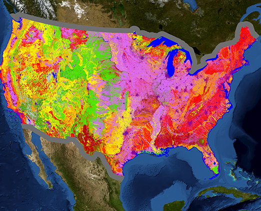
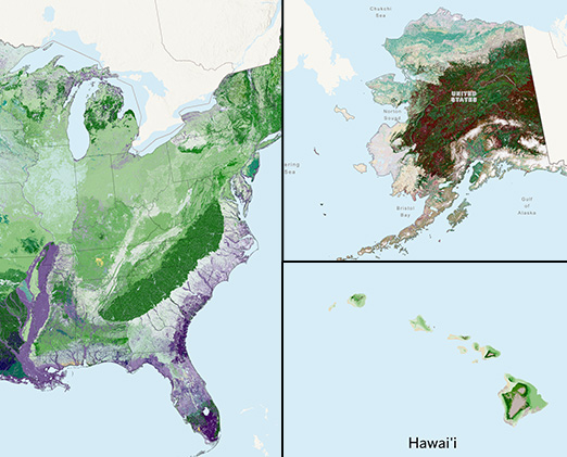
CONUS
- LF 2016 Remap EVC, EVH, EVT, F13, and F40
- LF 2022 EVT by Subclasses
- LF 2023 FCCS Fuelbeds
- LF 2023 SClass, and VCC
- NW Disturbance 2017-2022
- SE Disturbance 2017-2022
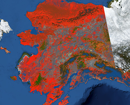
Alaska
- LF 2016 Remap EVC, EVH, EVT, F13, and F40
- LF 2023 BPS
- LF 2023 EVT by Subclasses
- LF 2023 FCCS Fuelbeds
- LF 2023 SClass, and VCC
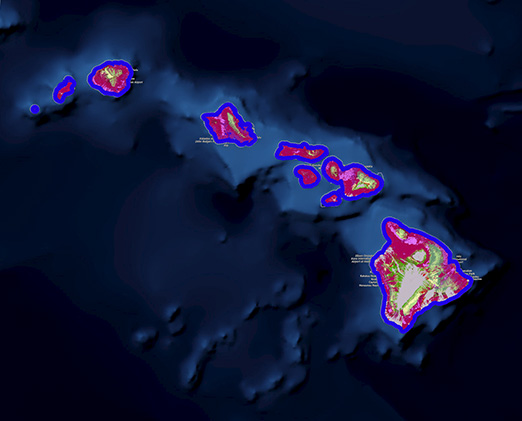
Hawaii
- LF 2016 Remap EVC, EVH, EVT, F13, and F40
- LF 2023 EVT by Subclasses
- LF 2023 SClass, and VCC
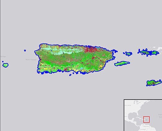
Insular Areas
- LF 2016 Remap EVT: various islands
Multiple Extents
- EVT: AK, HI, CONUS, IA
- EVH: AK, HI, CONUS, IA
- EVC: AK, HI, CONUS, IA
- BpS: AK, HI, CONUS
- VDEP: AK, HI, CONUS
Need to cite LANDFIRE? Visit the Citations page for examples