

Product Description
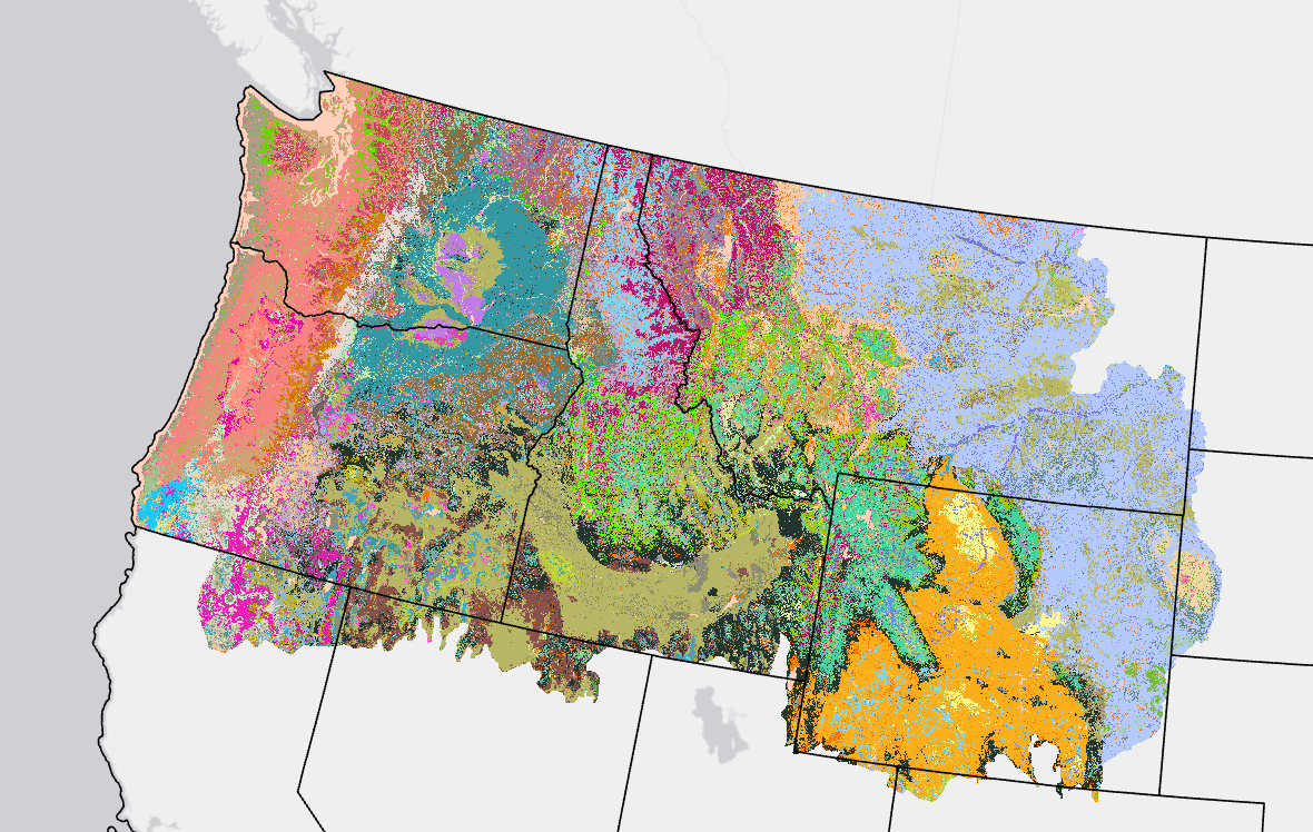 LANDFIRE's (LF) Biophysical Settings (BPS) is a modeled representation of the vegetation system that may have been dominant on the landscape prior to Euro-American settlement and is based on both the current biophysical environment and an approximation of modeled past disturbance regimes. LF uses BPS to depict reference conditions of vegetation across landscapes. Environmental Site Potential (ESP) was developed initially and reflects the climate and soil potential of the site. BPS modifies ESP with estimated disturbance rates prior to Euro-American for the region. ESP is no longer offered, but archived versions can be requested through the LF Help Desk.
Map units are based on NatureServe's Ecological Systems classification and represent the natural plant communities that may have been present during the reference period. Each BPS map unit is matched with a model of vegetation succession. The actual time period for this data set is a composite of both the modeled context provided by the vegetation dynamics models, including its fire regime, and the more recent field and geospatial inputs used to create it.
LF 2014 and earlier versions: BPS is unchanged from LF National's BPS except for updates made to water, barren, and snow classes (additions or removal), so that non-vegetated cover types within the BPS product matches LF existing vegetation and fuel products.
LF 2016 Remap and beyond: For the release of LF 2016 Remap, the below suite of Historic Fire Regime products were nested within the BPS product as attributes. Then, in 2024, Historic Fire Regime products became stand-alone products once again. These products can now be found in both places, as attributes of BPS and as their own products.
- Fire Return Interval (FRI)
- Percent Fire Severity (PFS)
- Fire Regime Groups (FRG)
LF 2016 Remap and beyond includes a 90-kilometer buffer along the 1,500 miles of the eastern and southern borders AK shares with Canada. Then with the LF 2020 update, and future updates, for the Conterminous United States (CONUS) a 90-kilometer buffer into Mexico is also included.
Related Product: The Succession Class (SClass) product characterizes current vegetation conditions with the cover, height, and occasional composition (e.g. type or leaf form) of the successional states that occur within each BPS.
Biophysical Settings Resources
| Key BPS Attributes | |
|---|---|
| VALUE | Unique numerical identifier for each legend category |
| BPS_CODE | Biophysical Settings (BpS) code used by LANDFIRE |
| ZONE | National Land Cover Database Map Zone the BpS relates to |
| BPS_MODEL | Unique BpS model code |
| BPS_NAME | BpS Name |
| GROUPVEG | BpS collapsed into coarse groups |
| FRI_REPLAC | Average historic replacement fire frequency |
| FRI_MIXED | Average historic mixed fire frequency |
| FRI_SURFAC | Average historic surface fire frequency |
| PRC_REPLAC | Percent of historic fires with replacement severity |
| PRC_MIXED | Percent of historic fires with mixed severity |
| PRC_SURFAC | Percent of historic fires with surface severity |
| FRG_NEW | Modified Fire Regime Group |
LF Definitions, Quality, and Standards - provides information about contributors, metadata and data standards, data creation, and data testing. This document also provides details about our general data release process.
LF Dictionary - a “one-stop shop” general resource that provides information about products, Attribute Data Dictionaries (ADDs), data and metadata, and terms.
LF Version Comparison Table - view the version history for each individual product.
LF Naming Conventions - understanding the version number