

Product Description
 This page includes a general description of the product, please consult the schedule and version pages for information specific to each release.
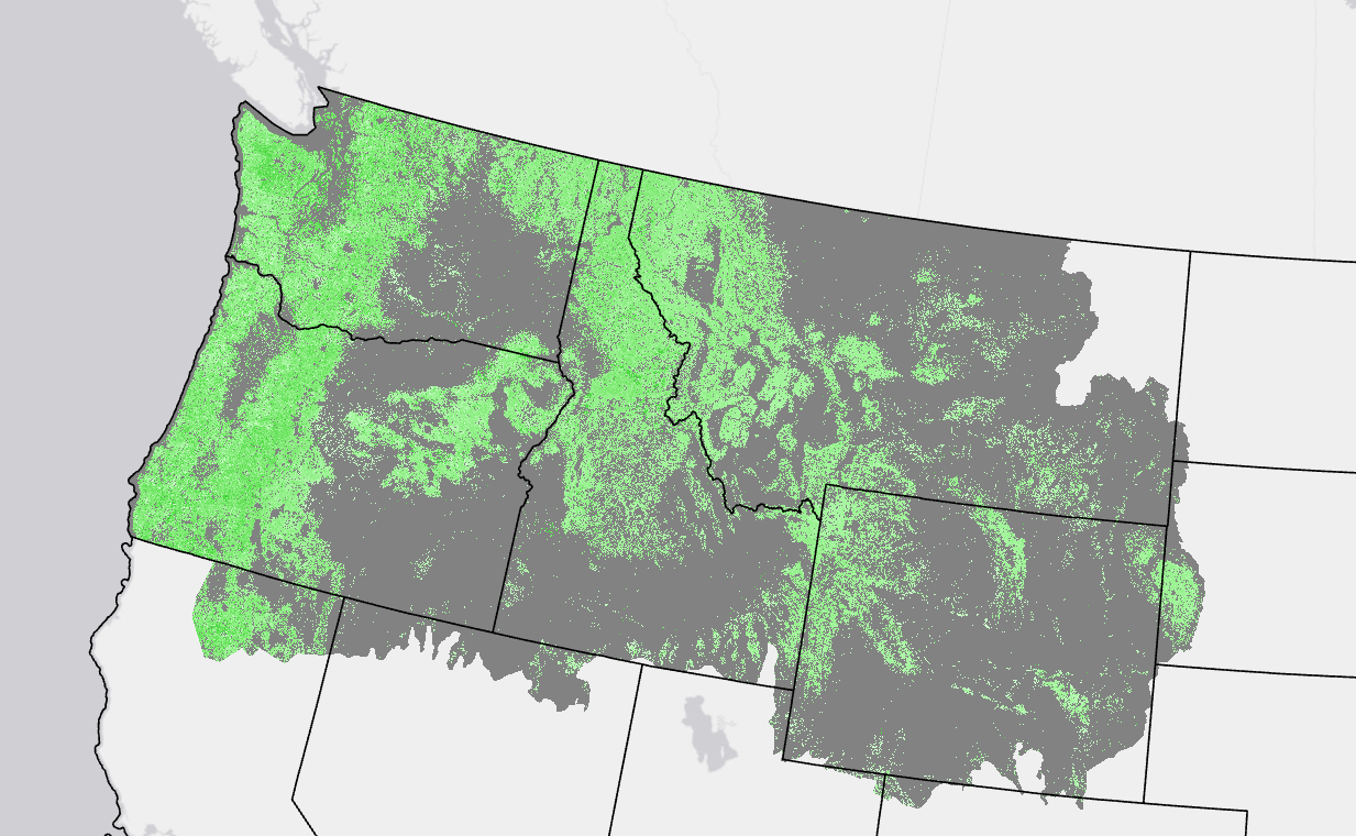
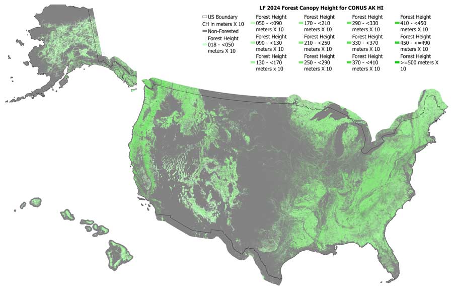
LANDFIRE's (LF) Forest Canopy Height (CH) describes the average height of the top of the vegetated canopy. CH measurement units are meters * 10 and extracted from Existing Vegetation Height (EVH). CH is assigned the midpoint of the EVH forested classes at non-disturbed locations. These products are provided for forested areas only.
CH first incorporated Annual Disturbance products during LF 2008 production. The introduction of this information allowed for informed changes to the assigned CH from disturbance type, severity, and time since the disturbance.
LF 2016 Remap and beyond includes a 90-kilometer buffer along the 1,500 miles of the eastern and southern borders AK shares with Canada. Then with the LF 2020 update, and future updates, for the Conterminous United States (CONUS) a 90-kilometer buffer into Mexico is also included.
Used in the calculation of Canopy Bulk Density and Canopy Base Height, CH supplies information to fire behavior models to provide input in the spotting model and calculate wind reductions.
Forest Canopy Height Resources
LF Definitions, Quality, and Standards - provides information about contributors, metadata and data standards, data creation, and data testing. This document also provides details about our general data release process.
LF Dictionary - a “one-stop shop” general resource that provides information about products, Attribute Data Dictionaries (ADDs), data and metadata, and terms.
LF Version Comparison Table - view the version history for each individual product.
LF Naming Conventions - understanding the version number