

Product Description
This page includes a general description of the product, please consult the schedule and version pages for information specific to each release.
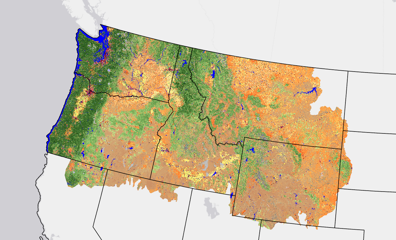
The LANDFIRE (LF) fuels vegetation products describe the elements of fuels vegetation for each LF vegetation production unit. This product represents pre-disturbance fuels where disturbance has occurred over the last 10 years. Fuel Vegetation Cover (FVC) represents a modified version of Existing Vegetation Cover (EVC). LF 2016 Remap EVC is mapped as continuous estimates of canopy cover for tree, shrub, and herbaceous lifeforms with a potential range from 0-100 percent. To translate continuous EVC values into fuel model assignments, EVC values were binned to correspond with the bins for previous LF versions.
FVC was developed using the full suite of LF vegetation releases and the most recent ten years of disturbance data. FVC more accurately leverages fuel transition assignments related to disturbed areas to properly align with logic developed from Fuels Calibration Workshops.
LF 2016 Remap and beyond includes a 90-kilometer buffer along the 1,500 miles of the eastern and southern borders AK shares with Canada. Then with the LF 2020 update, and future updates, for the Conterminous United States (CONUS) a 90-kilometer buffer into Mexico is also included.
LF uses FVC in the development of the fuel products.
FAQs
No, FVC represents pre-disturbance fuels before they are run through the LFTFC tools. For current fuels, look at CC, CH, CBH, CBD, and FBFM40 and FBFM13.
Fuel Vegetation Cover Resources
LF Definitions, Quality, and Standards - provides information about contributors, metadata and data standards, data creation, and data testing. This document also provides details about our general data release process.
LF Dictionary - a “one-stop shop” general resource that provides information about products, Attribute Data Dictionaries (ADDs), data and metadata, and terms.
LF Version Comparison Table - view the version history for each individual product.
LF Naming Conventions - understanding the version number