Product Description

The Fire Return Interval (FRI) product quantifies the average period between fires under the presumed historical fire regime. FRI is intended to describe one component of historical fire regime characteristics in the context of the broader historical time period represented by the LANDFIRE Biophysical Settings (BpS) product and BpS Models and Descriptions. FRI is mapped by assigning the modeled FRI from the BpS model to the spatial extent of a BpS on the BpS layer.

At the release of LF 2016 Remap Fire Return Interval (FRI_ALLFIR) was included as an attribute in the Biophysical Settings (BPS) product. Then, in calendar year 2024, this product became a stand-alone product once again. 
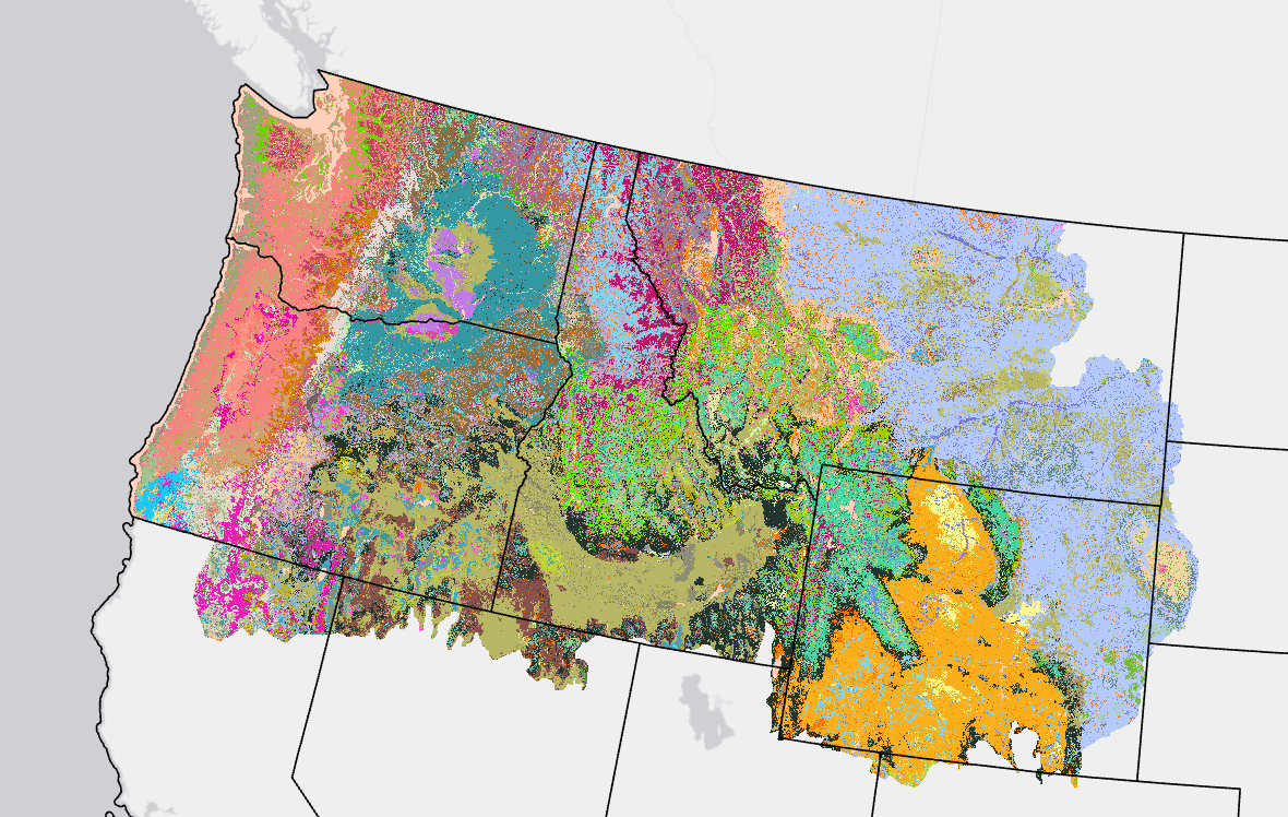
Map showing Fire Return Interval color coded data for the Northwest CONUS region

Fire Return Interval Resources

Product Description

The LANDFIRE Fire Regime Groups (FRG) product characterizes the presumed historical fire regimes within landscapes prior to European colonization based on interactions between vegetation dynamics, fire spread, fire effects, and spatial context. FRG is assigned to each BpS based on its historical fire frequency and fire severity from the BpS models. FRG definitions were altered by LANDFIRE to best approximate the definitions outlined in the Interagency Fire Regime Condition Class Guidebook.

At the release of LF 2016 Remap Fire Regime Groups (FRG_NEW) was included as an attribute in the Biophysical Settings (BPS) product. Then, in calendar year 2024, this product became a stand-alone product once again. 

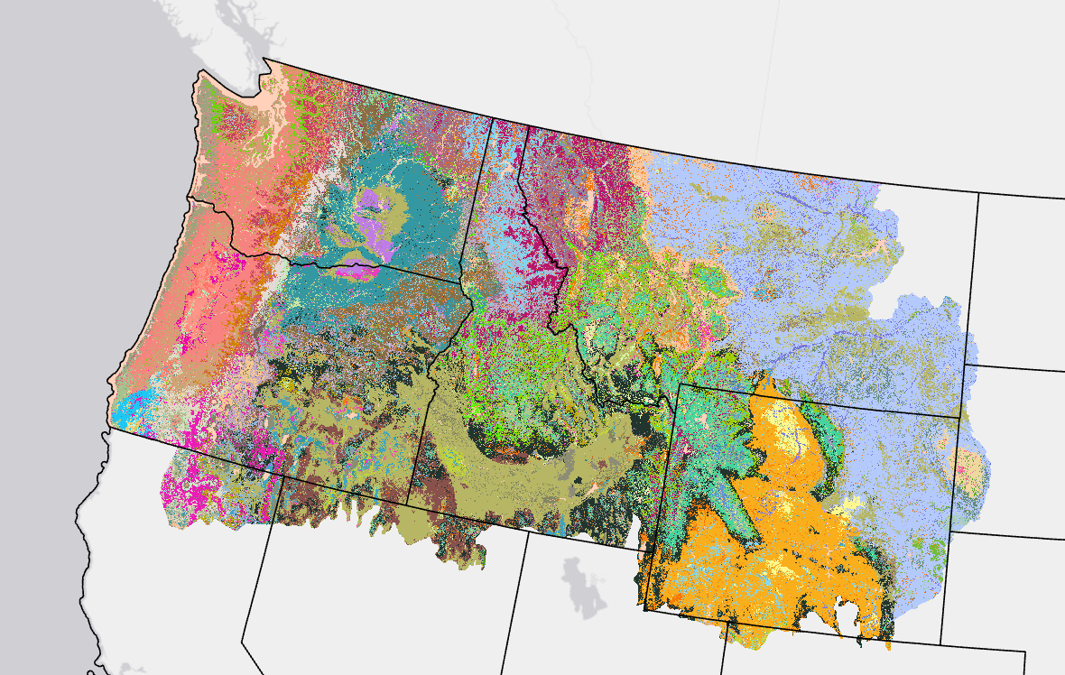
Colorful image in the upper northwest corner of the U.S.

Fire Regime Groups Resources

Product Description

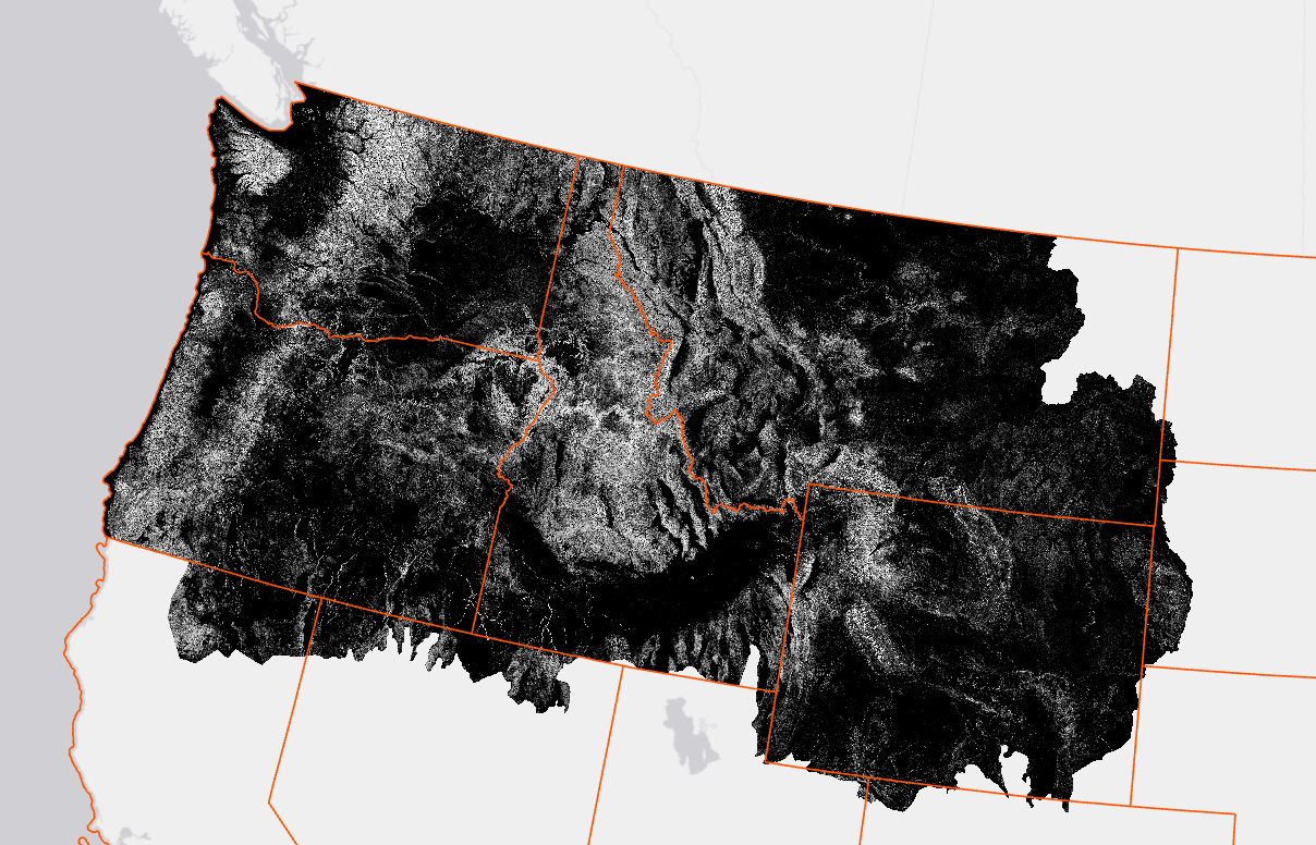
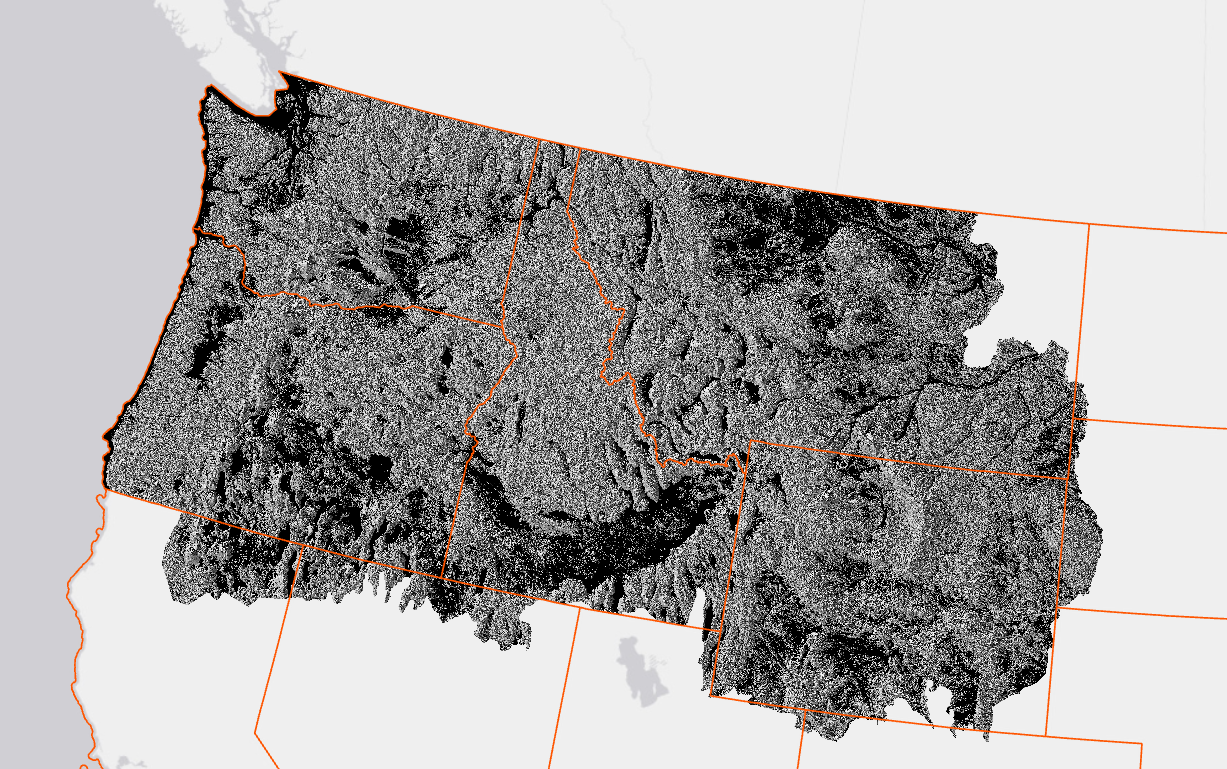
Image with black and white colorations in the upper northwest corner of the U.S.Slope represents the change of elevation over a specific area.
LF 2020 Update Slope Degree (SlpD) and Slope Percent Rise (SlpP) products are generated from 1 arc-second Digital Elevation Models (DEM) tiles (approximately 30 meter) downloaded November 9, 2021 from The National Map (TNM) Viewer (v2.0), part of the USGS 3D Elevation Program (3DEP) which provides the best available public domain raster elevation data of the conterminous United States (CONUS), Alaska, Hawaii, and insular areas.

See metadata by extent for specific details regarding coordinate system and projection information.

Note: LF 2020 topographic products are consistently calculated from true north, a correction from earlier topographic products where Aspect was calculated incorrectly. Users are advised to download the LF 2020 topographic products for CONUS, HI, AK, and PRVI to replace LF topographic products previously downloaded. We also advise that Landscape GeoTIFF (landscape) files created from earlier topographic products be re-created using the LF 2020 topographic products.

LF 2016 Remap and beyond includes a 90-kilometer buffer along the 1,500 miles of the eastern and southern borders AK shares with Canada. Then with the LF 2020 update, and future updates, for the Conterminous United States (CONUS) a 90-kilometer buffer into Mexico is also included. 


Slope Resources

Product Description

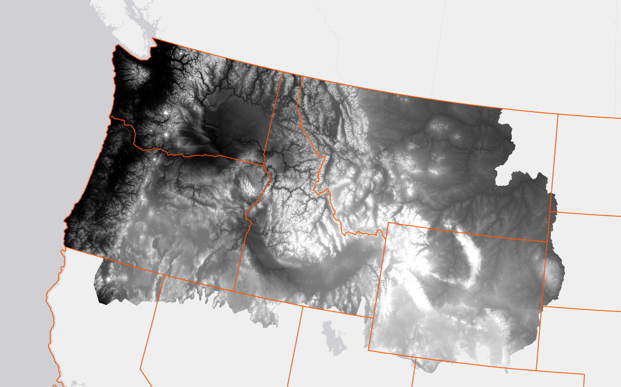
Graphic showing elevation coloration in the upper northwest corner of the U.S.Elevation represents land height, in meters, above mean sea level.
LF 2020 Update Elevation products were created using the 1 arc-second Digital Elevation Models (DEM) tiles (approximately 30 meter) downloaded November 9, 2021 from The National Map (TNM) Viewer (v2.0), part of the USGS 3D Elevation Program (3DEP) which provides the best available public domain raster elevation data of the conterminous United States (CONUS), Alaska, Hawaii, and insular areas.

See metadata by extent for specific details regarding coordinate system and projection information.

Note: LF 2020 topographic products are consistently calculated from true north, a correction from earlier topographic products where Aspect was calculated incorrectly. Users are advised to download the LF 2020 topographic products for CONUS, HI, AK, and PRVI to replace any LF topographic products previously downloaded. We also advise that Landscape GeoTIFF (landscape) files created from earlier topographic products be re-created using the LF 2020 topographic products.

LF 2016 Remap and beyond includes a 90-kilometer buffer along the 1,500 miles of the eastern and southern borders AK shares with Canada. Then with the LF 2020 update, and future updates, for the Conterminous United States (CONUS) a 90-kilometer buffer into Mexico is also included.


Elevation Resources

Product Description

Aspect defines downslope direction in degrees and represents the azimuth of the sloped surfaces across a landscape.
LF 2020 Update Aspect products are generated from 1 arc-second Digital Elevation Models (DEM) tiles (approximately 30 meter) downloaded November 9, 2021 from The National Map (TNM) Viewer (v2.0), part of the USGS 3D Elevation Program (3DEP) which provides the best available public domain raster elevation data of the conterminous United States (CONUS), Alaska, Hawaii, and insular areas. See metadata by extent for specific details regarding coordinate system and projection information.

See metadata by extent for specific details regarding coordinate system and projection information.

Note: LF 2020 topographic products are consistently calculated from true north, a correction from earlier topographic products where Aspect was calculated incorrectly. Users are advised to download the LF 2020 topographic products for CONUS, HI, AK, and PRVI to replace any LF topographic products previously downloaded. We also advise that Landscape GeoTIFF (landscape) files created from earlier topographic products be re-created using the LF 2020 topographic products.

LF 2016 Remap and beyond includes a 90-kilometer buffer along the 1,500 miles of the eastern and southern borders AK shares with Canada. Then with the LF 2020 update, and future updates, for the Conterminous United States (CONUS) a 90-kilometer buffer into Mexico is also included.


Aspect Resources

Product Description

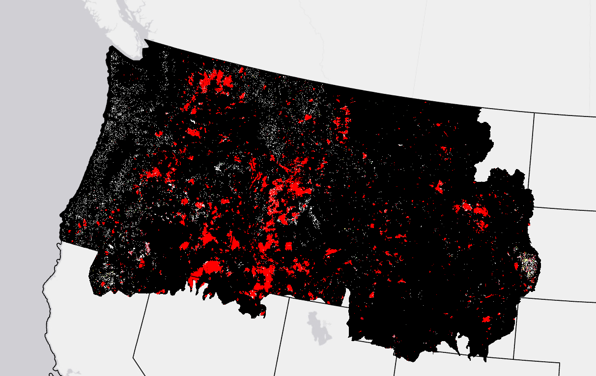
Graphic showing red and black area in the upper northwest corner of the U.S. Historical Disturbance data is available by request only through the HelpDesk.

This page includes a general description of the product, please consult the schedule and version pages for information specific to each release.

LANDFIRE (LF) disturbance products are developed to provide temporal and spatial information related to landscape change. Historical Disturbance (HDist) is developed from the base LF Disturbance products (and attribute code system) to represent the 'history of disturbance' for a 10-year span. Each year's disturbance scenarios are checked against time relevant LF vegetation to check for logical inconsistencies. Errant disturbance codes are flagged and updated to a discard code with the remaining disturbance codes cross walked to Fuel Disturbance (FDist) codes. HDist development involves a comprehensive review of fuel and disturbance attributes.

Starting with LF 2016 Remap, and beyond, HDist replaces Vegetation Disturbance from previous LF versions incorporating pre-disturbance vegetation logic (based on disturbance year and vegetation type).

LF 2016 Remap and beyond includes a 90-kilometer buffer along the 1,500 miles of the eastern and southern borders AK shares with Canada. Then with the LF 2020 update, and future updates, for the Conterminous United States (CONUS) a 90-kilometer buffer into Mexico is also included.

LF uses HDist in the development of several subsequent layers, including the FDist product.


Historical Disturbance Resources