



Data Use Recommendations
Although LF products are delivered as 30-meter pixels, using individual or small groups of pixels is not recommended.
LF products are created to support national and regional strategic planning and strategic/tactical planning for large sub-regional landscapes and Fire Management Units (FMUs) such as significant portions of states or multiple federal administrative entities. The applicability of LF products to support fire and land management planning or smaller areas will vary by product, location, and specific use. Further investigation by local and regional experts should be conducted to inform decisions regarding local applicability. However, it is the responsibility of the local user, using LF metadata and local knowledge, to determine if and/or how LF can be used for particular areas of interest.
Managers and planners must evaluate LF products according to the scale and requirements specific to their needs (for example, habitat requirements for the species being considered or requirements by community leaders and interagency partners). LF products are not intended to replace local products, but rather serve as reference data by providing wall-to-wall cross-boundary products. It is the responsibility of the user to be familiar with the value, assumptions, and limitations of LF products.
Although LF products are delivered as 30-meter pixels, using individual or small groups of pixels is not recommended.
LF products are created to support national and regional strategic planning and strategic/tactical planning for large sub-regional landscapes and Fire Management Units (FMUs) such as significant portions of states or multiple federal administrative entities. The applicability of LF products to support fire and land management planning or smaller areas will vary by product, location, and specific use. Further investigation by local and regional experts should be conducted to inform decisions regarding local applicability. However, it is the responsibility of the local user, using LF metadata and local knowledge, to determine if and/or how LF can be used for particular areas of interest.
Managers and planners must evaluate LF products according to the scale and requirements specific to their needs (for example, habitat requirements for the species being considered or requirements by community leaders and interagency partners). LF products are not intended to replace local products, but rather serve as reference data by providing wall-to-wall cross-boundary products. It is the responsibility of the user to be familiar with the value, assumptions, and limitations of LF products.
| base map: | is a comprehensive vegetation and fuels mapping effort of the LF product suite, this mapping uses satellite imagery and LFRDB plot data, for example: LF 2016 Remap |
|---|---|
| update: | a vegetation and fuels mapping effort using the base product suite to more accurately represent current conditions and account for landscape disturbances and succession, for example: LF 2024 |
| base map: | is a comprehensive vegetation and fuels mapping effort of the LF product suite, this mapping uses satellite imagery and LFRDB plot data, for example: LF 2016 Remap |
|---|---|
| update: | a vegetation and fuels mapping effort using the base product suite to more accurately represent current conditions and account for landscape disturbances and succession, for example: LF 2024 |
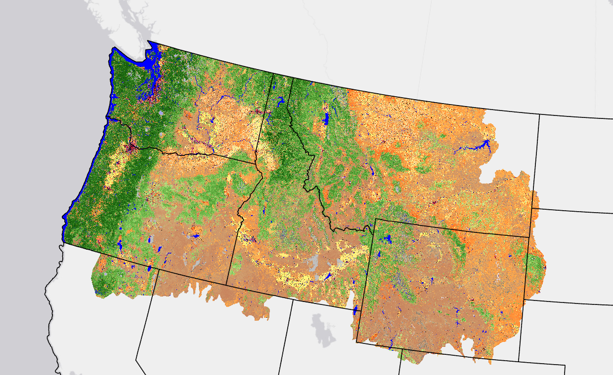 This page includes a general description of the product, please consult the
 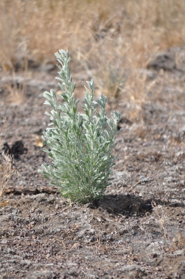 LANDFIRE (LF) existing vegetation layers describe the following elements: Existing Vegetation Type (EVT), Existing Vegetation Canopy Cover (EVC), and Existing Vegetation Height (EVH). These layers are created using predictive landscape models based on extensive field-referenced data, satellite imagery and biophysical gradient layers using classification and regression trees. LF potential vegetation layers describe the following elements: Biophysical Settings (BPS) and Environmental Site Potential (ESP). These layers are created using predictive landscape models based on extensive field-referenced data and biophysical gradient layers using classification and regression trees.