


 Latest News
The LANDFIRE (LF) Program investigates ways to ensure LF products remain relevant, useful, and accessible to the user community through improvements and innovations. Improvements and innovations are enhancements to current data production methods as well as the advancement of new scientific methods and information sources.
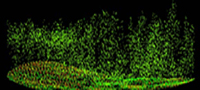 |
Lidar LANDFIRE (LF) scientists use lidar data for canopy structure mapping. Incorporating lidar data into vegetation mapping methods has been promising, however, improvements are still being investigated. Learn more... |
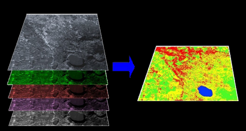 |
Image Compositing LANDFIRE creates image composites to better map disturbance and vegetation. Improving image composite methods is ongoing and investigations into cloud processing of Landsat data is in progress. Learn more... |
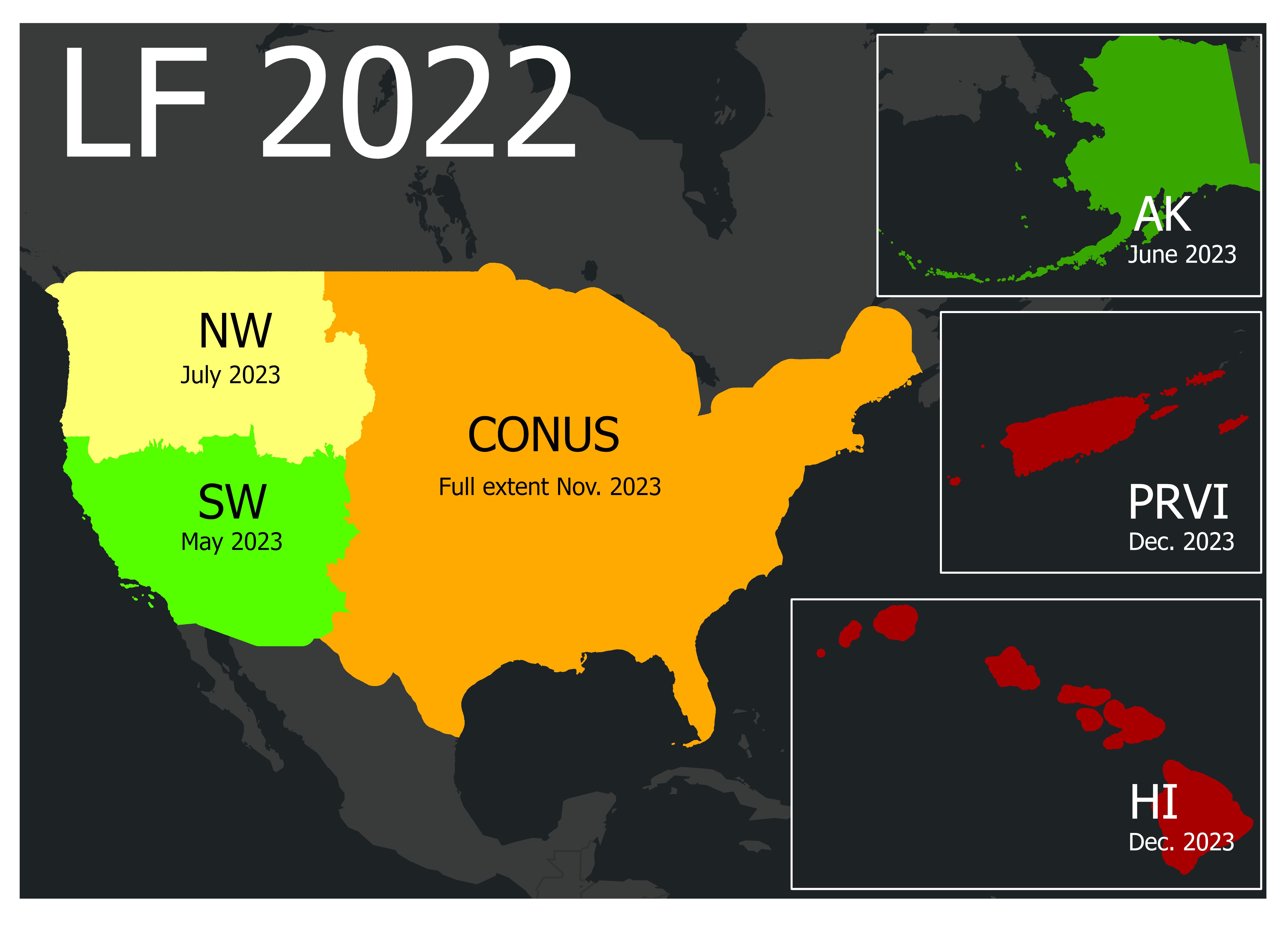 |
Annual Update Annual updates have long been a goal of the LANDFIRE program. LF2022 will represent to first update to incorporate disturbances from the growing season before its release. Learn more... |
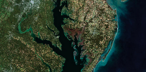 |
Prototype Process LANDFIRE scientists are prototyping an image-based annual update that relies on using recent Landsat imagery to model lifeform, existing vegetation cover, and existing vegetation height. Learn more... |
Want to contribute and get involved? Contact Us!


