Product Description
 This page includes a general description of the product, please consult the schedule and version pages for information specific to each release.
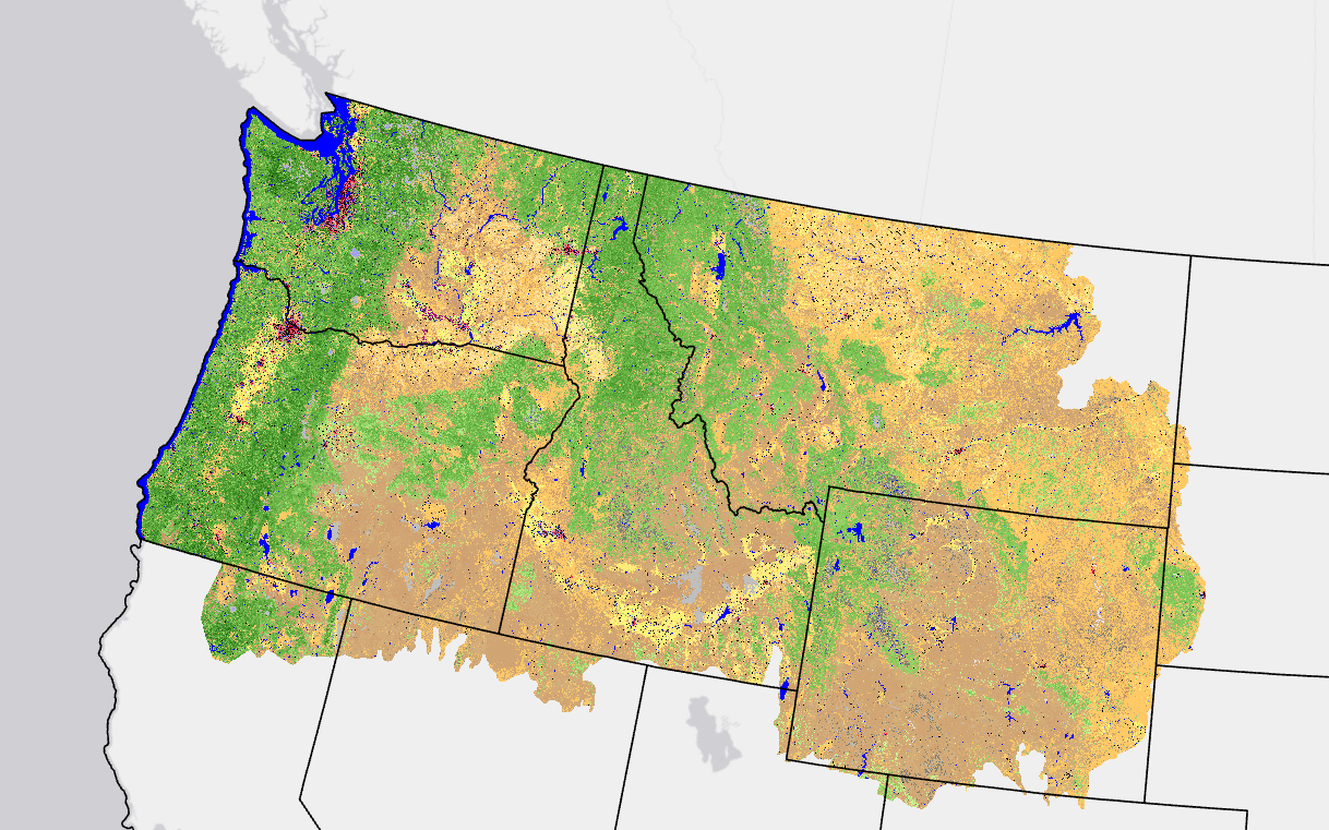
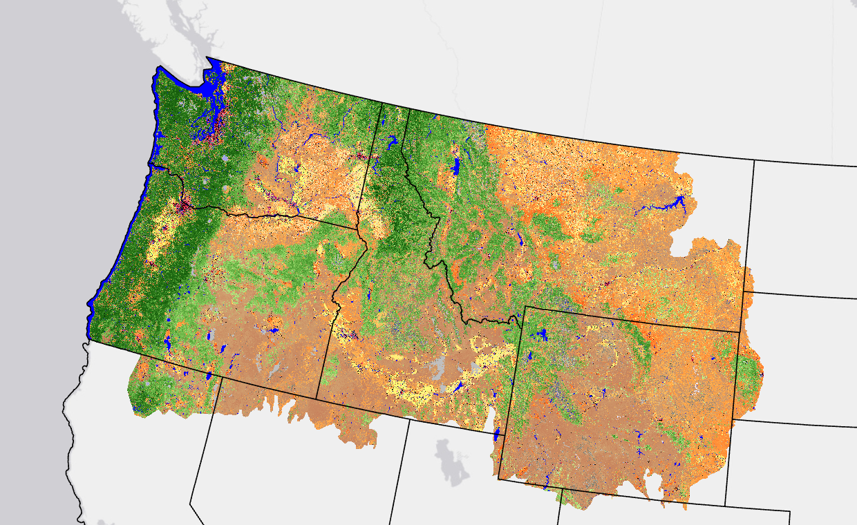
LANDFIRE's (LF) Existing Vegetation Height (EVH) represents the average height of the dominant vegetation for a 30-m cell.
Canopy height is generated separately for tree, shrub, and herbaceous lifeforms using training data and other geospatial layers. EVH is determined by the average height weighted by species cover and based on the Existing Vegetation Type (EVT) lifeform.
- Decision tree models using field reference data, lidar, Landsat, and ancillary data are developed separately for each lifeform. Decision tree relationships are used to generate lifeform specific height class layers, which are merged into a single composite EVH layer.
- Disturbance data is used to develop products for LANDFIRE Reference Database (LFRDB) plot filtering and to ensure that disturbances from recent years are included that were not visible in the source imagery.
LF 2016 Remap and beyond includes a 90-kilometer buffer along the 1,500 miles of the eastern and southern borders AK shares with Canada. Then with the LF 2020 update, and future updates, for the Conterminous United States (CONUS) a 90-kilometer buffer into Mexico is also included.
LF uses EVH in several subsequent layers, including the development of the fuel products.
Existing Vegetation Height Resources
| Key EVH Attributes | |
| VALUE | EVH is represented in meters and life forms are binned separately. |
| Developed-Upland Forest | 5 classes of Developed-Upland Forest |
| Developed | 7 classes of Developed vegetation |
| Developed-Roads | 1 class of Developed Roads |
| NASS Crops | 10 classes of NASS Crops |
| Tree Height | Tree Height in meters |
| Shrub Height | Shrub Height in meters |
| Herb Height | Herb Height in meters |
| Count | number of pixels for the corresponding value |
| Classnames | Display attribute, EVH is represented in meters and life forms are binned separately |
LF Definitions, Quality, and Standards - provides information about contributors, metadata and data standards, data creation, and data testing. This document also provides details about our general data release process.
LF Dictionary - a “one-stop shop” general resource that provides information about products, Attribute Data Dictionaries (ADDs), data and metadata, and terms.
LF Version Comparison Table - view the version history for each individual product.
LF Naming Conventions - understanding the version number
Detailed annual updates to vegetation maps for the US using machine learning [pptx]
 This page includes a general description of the product, please consult the
  LANDFIRE (LF) existing vegetation layers describe the following elements: Existing Vegetation Type (EVT), Existing Vegetation Canopy Cover (EVC), and Existing Vegetation Height (EVH). These layers are created using predictive landscape models based on extensive field-referenced data, satellite imagery and biophysical gradient layers using classification and regression trees. LF potential vegetation layers describe the following elements: Biophysical Settings (BPS) and Environmental Site Potential (ESP). These layers are created using predictive landscape models based on extensive field-referenced data and biophysical gradient layers using classification and regression trees.