Product Description
 This page includes a general description of the product, please consult the schedule and version pages for information specific to each release.
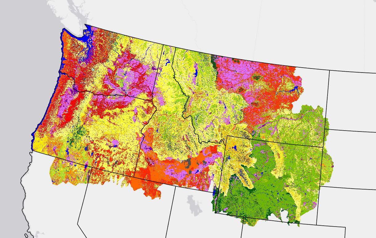
40 Scott and Burgan Fire Behavior Fuel Model (FBFM40) represents distinct distributions of fuel loading found among surface fuel components (live and dead), size classes, and fuel types. This set contains more fuel models in every fuel type (grass, shrub, timber, slash) than Anderson's set of 13. The number of fuel models representing relatively high dead fuel moisture content increased, and fuel models with an herbaceous component are now dynamic, meaning that loads shift between live and dead (to simulate curing of the herbaceous component) rather than remaining constant.
LANDFIRE's (LF) FBFM40 was evaluated through a series of workshops held across the nation with fire and fuels specialists. Workshop participants reviewed and adjusted surface fuel model rulesets using unique combinations of Existing Vegetation Type (EVT), Existing Vegetation Cover (EVC), Existing Vegetation Height (EVH), and in some cases Biophysical Setting (BPS).
Annual Disturbance products were first incorporated into fuel production during LF 2008. The introduction of this information allowed for informed changes to the assigned fuel models from disturbance type, severity, and time since the disturbance.
LF 2016 Remap and beyond includes a 90-kilometer buffer along the 1,500 miles of the eastern and southern borders AK shares with Canada. Then with the LF 2020 update, and future updates, for the Conterminous United States (CONUS) a 90-kilometer buffer into Mexico is also included.
Modeling Dynamic Fuels with an Index System (MoD-FIS) - refined FBFM40 classification based upon current estimates of FBFM40 from Landsat imagery for the current growing season. Where available, LF recommends using MoD-FIS data for fire behavior modeling in prescribed burn plans and during wildfires as this data reflects more current fuel conditions. For risk assessments, users should look to the Fire Behavior Fuel Model 40 annual releases which represent fuel condition averages for a fire season.
40 Scott and Burgan Fire Behavior Fuel Models Resources
A quick visual description of the expected fire behavior characteristics for surface fuel models.
- Wildfire Risk to Communities
- Compare fuel models spreadsheet - Joe Scott
- Updated - Compare fuel models spreadsheet - Joe Scott
- Fuel Models and Climate Labels
LF Definitions, Quality, and Standards - provides information about contributors, metadata and data standards, data creation, and data testing. This document also provides details about our general data release process.
LF Dictionary - a “one-stop shop” general resource that provides information about products, Attribute Data Dictionaries (ADDs), data and metadata, and terms.
LF Version Comparison Table - view the version history for each individual product.
LF Naming Conventions - understanding the version number
 This page includes a general description of the product, please consult the
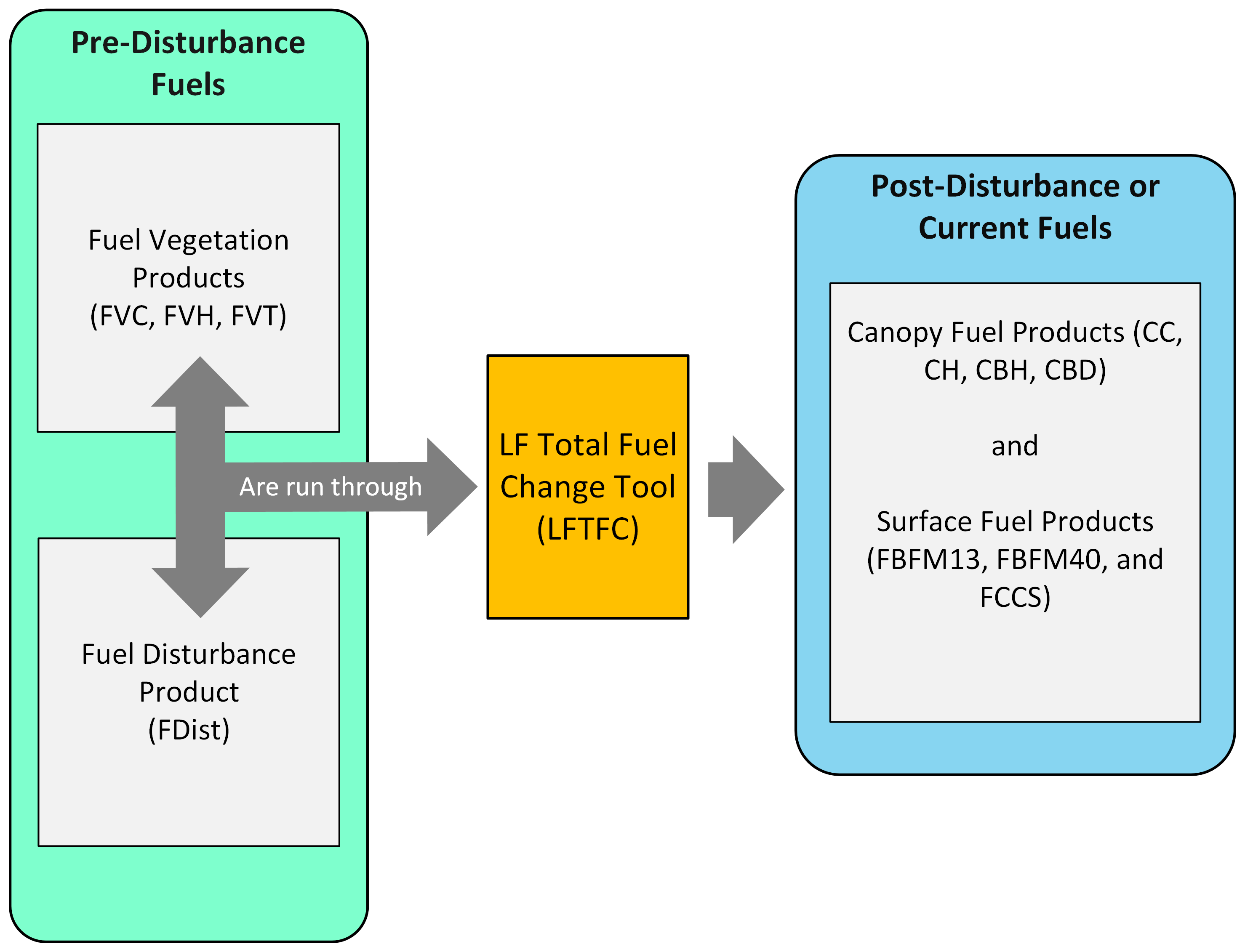
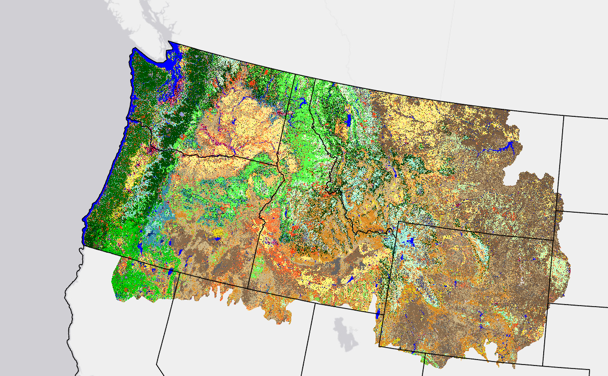
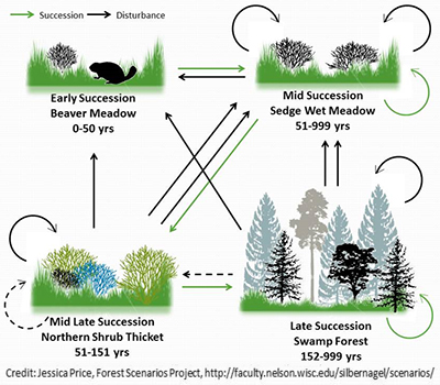 LANDFIRE (LF) calls historic (pre-European settlement) ecosystems "Biophysical Settings," or BpS. To better understand how BpS functioned across the United States, LF worked with hundreds of experts to develop descriptions and models. The results are combined into "sets" or bundles that are available to anyone for free online.
 COLLABORATION BETWEEN LF + EXPERTS = MODELS
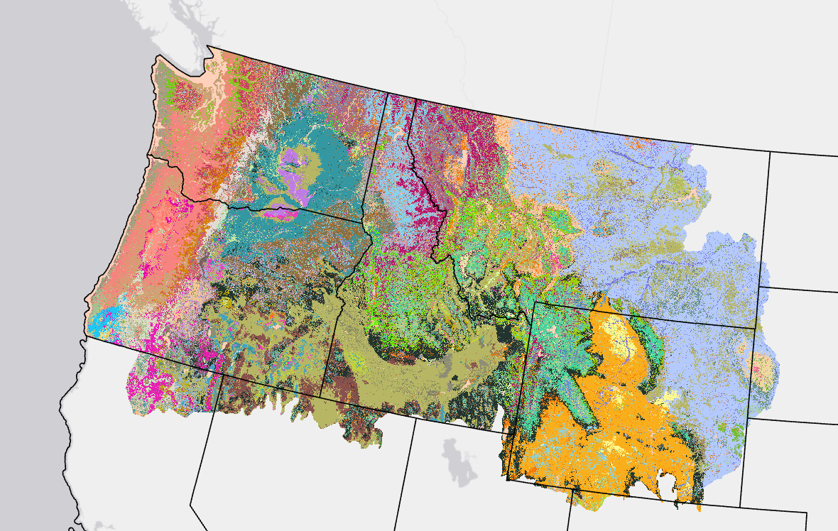
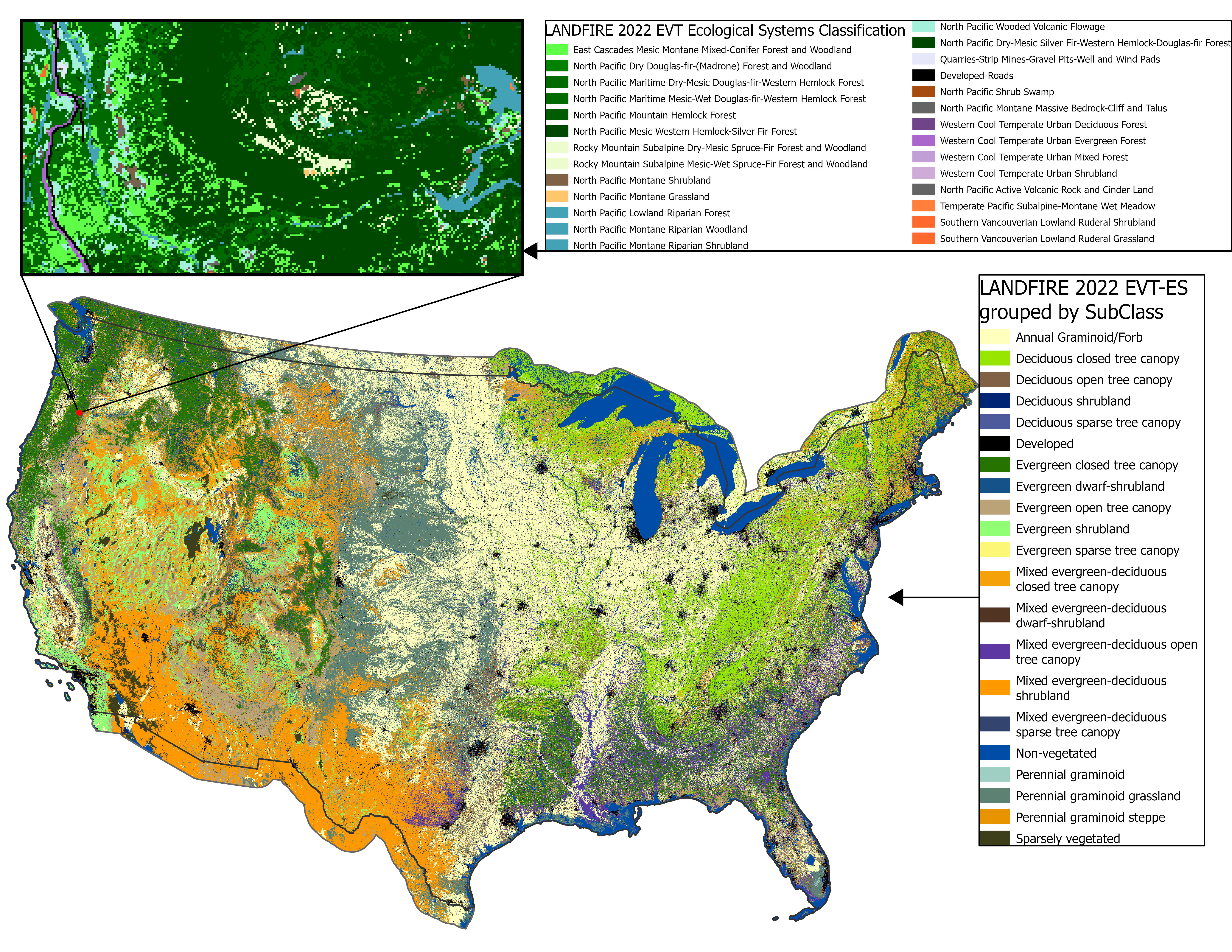
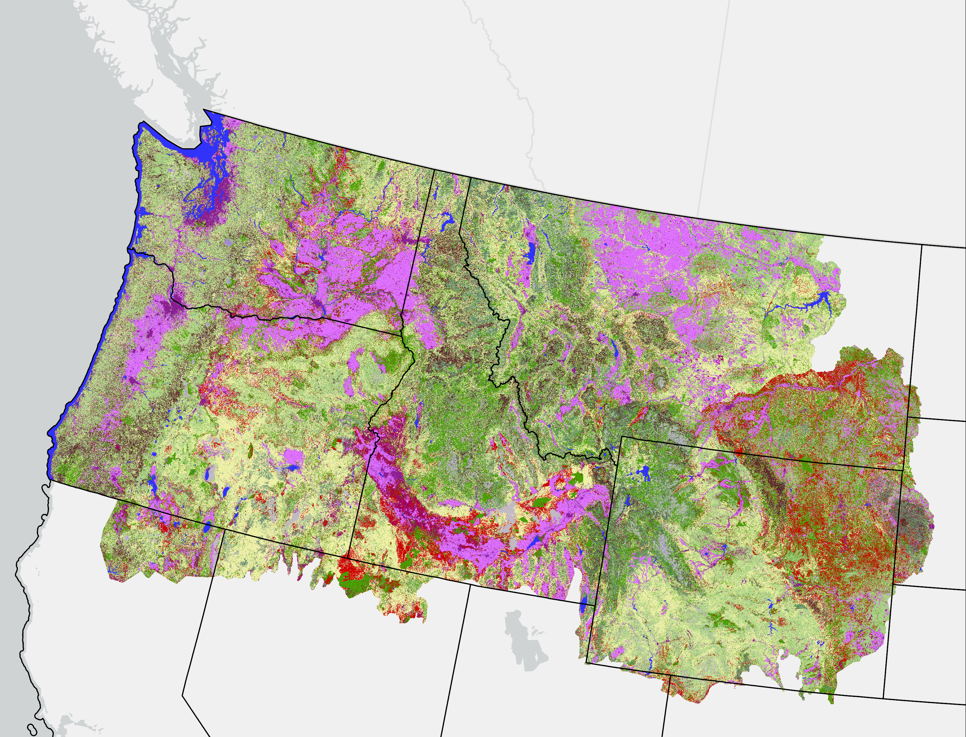
 LANDFIRE's (LF) Existing Vegetation Type National Vegetation Classification (EVT-NVC), an existing vegetation layer created with a new mapping process and delivered as a separate spatial data layer for the first time with LF 2016 Remap, represents the current distribution of vegetation groups within the
 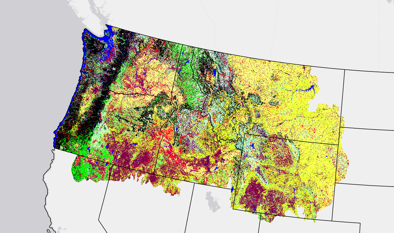 This page includes a general description of the product, please consult the